

Live maps for events and places
Your world, made interactive.
CiaoMap helps visitors find their way at a weekend festival or a destination open all year. Map every stand, trail, pitch and service, share schedules and announcements, and keep everything up to date. Visitors open one link or QR code on their phone, with nothing to download.
- Free to build, pay when it goes live
- No app for visitors
- Italian and English
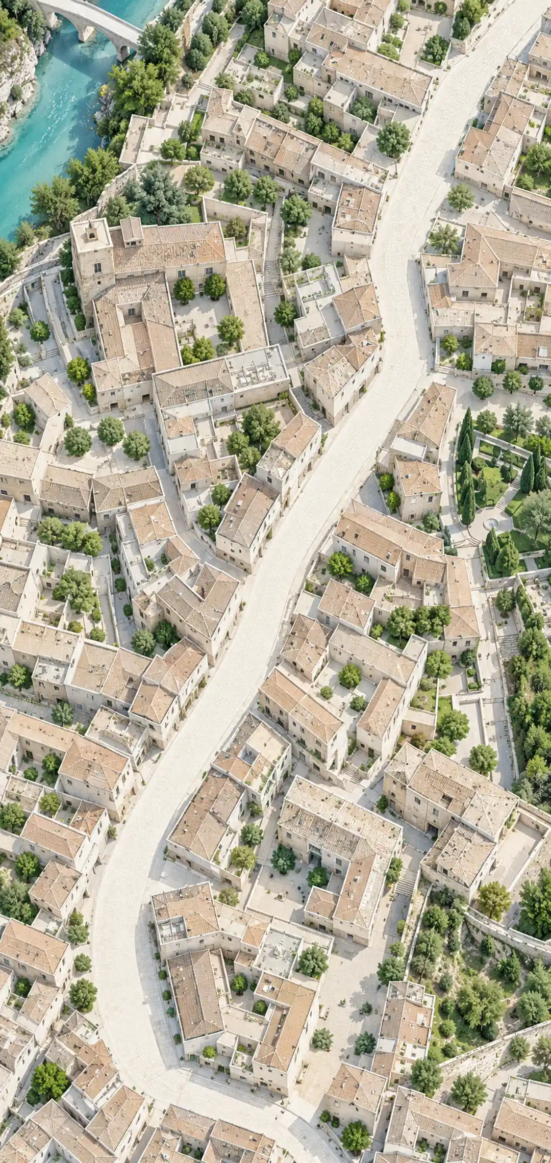

Festa del Vino 2026
Piazza Garibaldi
Make it yours. Try a few options.
Customize your map, from your colors to a shop inside it. Try it here, no sign up needed.
Made for
Events and places
For a weekend or all year round
Wine festivals and open wineries, parks, museums and campsites: CiaoMap works for dated events and places open all year. Choose a plan and pause it when you close.
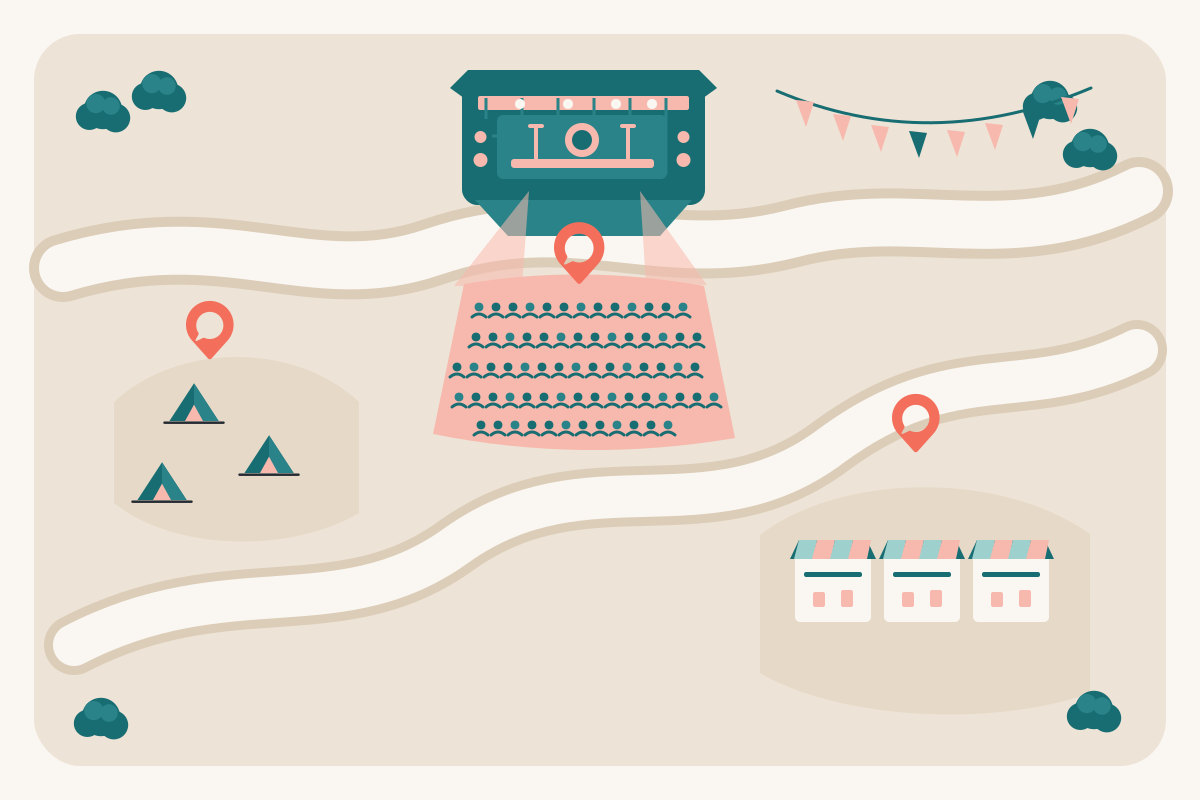
Festivals and fairs
Stands, stages and the program for a weekend that has to run smoothly from the first visitor.
Max plan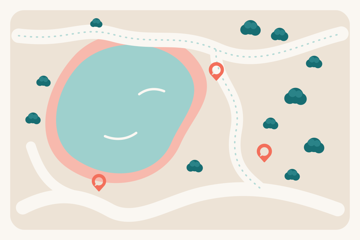
Parks and nature reserves
Trails, viewpoints, picnic areas and services, for visitors who explore at their own pace every day.
Pro plan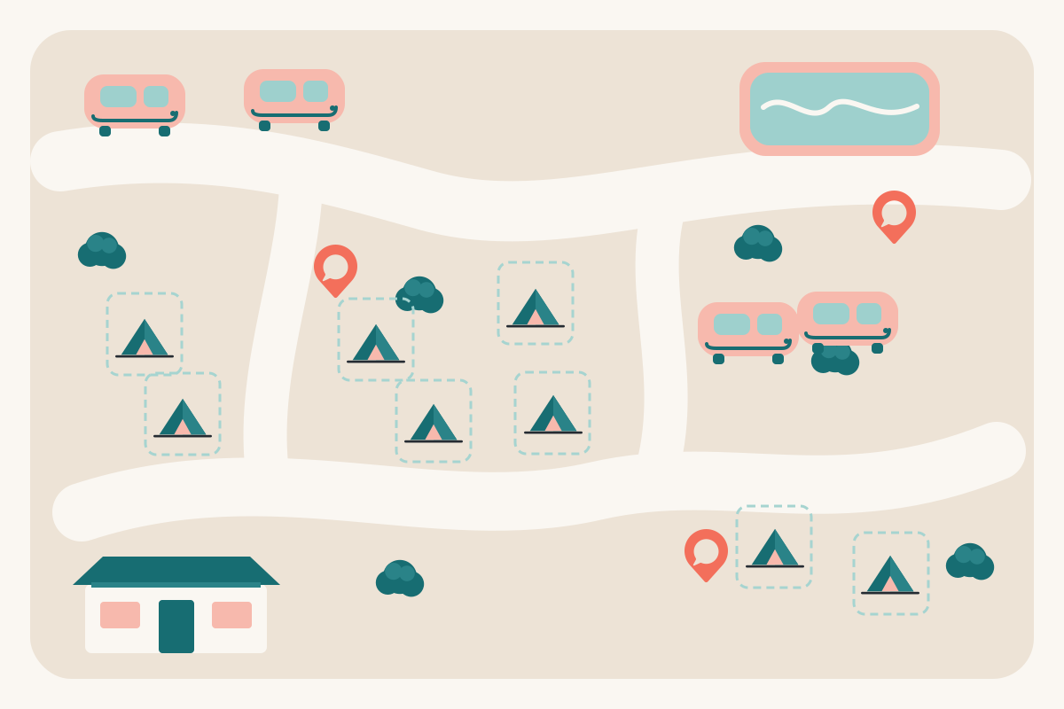
Campsites and resorts
Pitches, pools, restaurants and the daily activities, for guests from check in to departure.
Pro plan
Attendees first
A better day for your visitors, wherever you welcome them
We build for the person holding the phone. CiaoMap helps visitors explore a festival, find a trail in the park or settle into their campsite, with every service and activity easy to find.
Find yourself
The map opens on your venue with their position on it. In seconds they know where they are, without asking anyone.
Find what is on
The map shows what is nearby and what is on now, with filters for stands, information points, ticket offices, parking, attractions and the event's other points of interest.
Never miss the moment
When the plan changes, your announcement reaches every open map, so nobody misses the moved stage or the last call.
What it brings you
- Fewer questions at the info desk
- Live announcements for emergencies and live polls
- Your own online shop, right on the map
- Sponsors seen by everyone on site
- Visitors who look forward to coming back
- Analytics and visitor contacts to plan what comes next
Let your visitors feel the magic
From the gate to the right place in ten seconds
- 0 s
Scan the QR on the poster at the gate
- 3 s
See yourself on the map, in its own colors
- 10 s
Walk to the activity you want, without asking anyone
Visitors see their position on the map and reach the point of interest they want. One QR code or link is all it takes: nothing to install and no account required.
How it works
Live in an afternoon
No designer, no developer, no app store. If you can fill in a spreadsheet, you can publish a map.
- 1Step 1 of 5
Start from your venue
Search the address and frame the area. The base map is ready in seconds, streets and paths included.
- 2Step 2 of 5
Make it yours
Pick the event color, the marker colors and your logo, so the map is part of your event.
- 3Step 3 of 5
Add every place
Place stands, stages and services yourself. If you have a printed flyer, you can also photograph it and ask the AI assistant to place the points.
- 4Step 4 of 5
Connect the day
Link each activity to its stand and mark entrances, info points and parking, so visitors know where to go next.
- 5Step 5 of 5
Publish and share
Print the QR on posters, tickets and tables. Visitors scan and the live map opens on their phone, nothing to download.
Festa del Vino 2026
Piazza Garibaldi
Features
Everything visitors ask the info desk
One map that answers where, what and when, for a weekend or all year.
A live map on every phone
Numbered points like your printed flyer, category filters, search and the visitor's own position. Areas already seen keep working when the Wi-Fi drops.
Program and what is on now
A day by day timeline tied to the map: tap an activity to see where it happens and discover what the event offers.
Announcements in real time
Rain plan, last call, a changed stage: send it from the console and it shows on every open map.
QR code and social kit
Print ready QR codes, share cards and a post planner, all pointing at the same link.
From flyer to map with AI
Send a photo of your paper map to the AI assistant: it reads the stands and places them on the street for you to check.
Visitors you can count
Cookieless counts of visitors, opens, popular points and sources, per day, with a CSV export for your sponsors.
Sponsors on the map
Sponsors by tier with logo, link and stand, in their own sheet and on their point of the map.
Your visitors' language
The live map speaks Italian or English, and you pick the language of each map.
AI assistant
Already have a flyer? You are halfway there
If you have a printed map, you can photograph it. The AI assistant reads its numbered stands and places them on the street. You can always add or adjust points by hand before publishing.
Use cases
Built for events and places worth exploring
From food festivals to museums, parks and campsites, wherever visitors need to find their way.
Wine festivals
Every producer's bench, the tastings and the shuttle stops on one map.
Read moreFood festivals and sagre
Food stands, the queue for the kitchen, music and the parking, all in one link.
Read moreMusic festivals
Stages, set times, bars and the campsite, on a map that keeps up with the lineup.
Read moreTrade fairs and expos
Halls, exhibitors, talks and services, searchable on every visitor's phone.
Read moreConferences and congresses
Rooms, sessions, coffee breaks and the venue around them, in one link.
Read moreChristmas markets
Chalets, the nativity, the skating rink and the shows, all season long.
Read moreCity events and street festivals
Notti bianche, street markets and town festivals across many streets and squares.
Read moreWine routes and open cellars
Wineries, tasting rooms and trails on a map that is open all year.
Read moreTheme and water parks
Rides, shows, restaurants and the way out, on a map that matches your park.
Read moreNature parks and trails
Trails, viewpoints, shelters and entrances, on a map that works where signal is weak.
Read moreZoos and aquariums
Animal areas, feeding times, talks and the café, with what is on now.
Read moreMuseums and exhibitions
Entrances, galleries, exhibits and guided tours on a map visitors can keep with them.
Read moreCampsites and holiday villages
Pitches, pools, restaurants and the evening program, for guests from day one.
Read more
Pricing
Free to start. Pay by the month when it matters.
Build and preview as many maps as you like. One small map stays live for free; plans grow with your visitors.
Free
€0/ month
Try it on a small event: one live map, no card.
Pro
€39/ month
One event or place, with its program and your brand.
Max
€99/ month
Several maps, sponsors and the shop for busy organizers.
FAQ
Questions organizers ask
Do visitors need to download an app?
No. The map opens in the phone browser from a link or a QR code. Visitors can add it to their home screen, but they never have to.
How long does it take to build a map?
An afternoon for most maps. With a photo of your flyer or site plan, the AI assistant places the numbered points and you only check them.
What does it cost?
Building and previewing is free, and one small map can stay live on the Free plan. Pro is €39 a month for one event or place, paused when you do not need it; Max adds more maps, sponsors and the shop.
What if the Wi-Fi at the venue is weak?
The map is a lightweight web app: once opened, the areas a visitor has seen stay available offline, and the program loads with it.
Can I change the map while it is live?
Yes. Edit a point or the program, or send an announcement from the console, and update the live map with one click.
Do you track my visitors?
Visitor counts are first party and cookieless, and the map never asks for an account. Visitors can sign in if they want to, only for that event.
Give your visitors a map they will use
Create your team, draw the map and preview it on your phone today. One small map stays live for free.